Topics
GeographyHeadlinesInfrastructureKatrinaNeighborhoodsPeopleRecreation
|
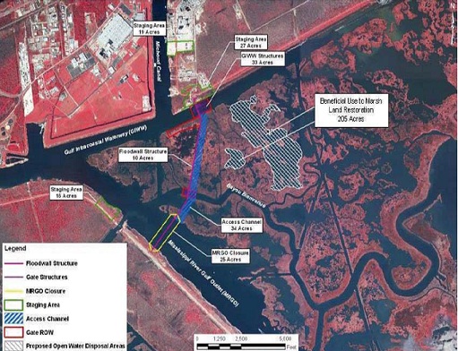
Open to Gulf of Mexico to the east, Lake Borgne, the Intercoastal
Waterway and the
Mississippi River Gulf Outlet form an unnatural funnel capable
amplifying coastal surge and directing it into the heart of the city.
Click the Satellite button to see this configuration for yourself.
Levees along the Gulf Intercoastal Waterway to the north and MrGo to
the southwest not only strengthen the funnel but are killing the marsh
by denying freshwater.
LSU Hurricane Center studies showed Katrina's 11 foot surge moving at 2 feet per second
was amplified to 15.5 feet moving at 7.5 feet per second when it
crashed into the Industrial Canal on August 29'th.
|
Lake Borgne Surge Barrier
: The Lake Borgne Surge Barrier is a two mile long 24-26 foot high floodwall complex on the east bank designed to seal the Inner Harbor (Industrial Canal) from the Lake Borgne and the Gulf.
:: Continue reading...
|
|