Topics
GeographyHeadlinesInfrastructureKatrinaNeighborhoodsPeopleRecreation
|
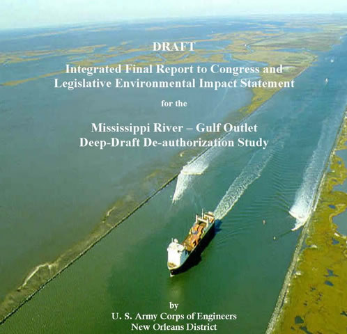
Flood number 2 affected St Bernard Parish and parts of upper Plaquemines on the east bank of the river.
This one hit hard when the
MRGO levees failed and in the inner (non-federal) levees along the
Arpent-40 canal gave way. This flood was caused by surge that rolled
over miles of damaged wetlands and topped levees all along
MRGO.
Similar to Flood 1, this flood is
unavoidable given the close proximity of this area to open water. What
is different is that the open water used to be much farther away. The
MRGO itself contributed to the surge but even more critically destroyed
thousands of acres of wetlands including the magnificent cypress forest
that used to protect the eastern flank of St Bernard parish.
Closing MRGO and rebuilding the wetlands is really the only way give
this region a
fighting chance in the future. Levees may provide a stopgap and
had they been properly maintained might have stopped a smaller storm
than Katrina,
but most levees also have the unintended consequence of further
damaging the wetlands ecology.
Recently the Corps has been promoting the concept of leaky levees. These are levees with culverts cut through them to allow marsh water to move freely along natural channels. When a storm threatens the culverts are sealed.
|